
Day(s)
:
Hour(s)
:
Minute(s)
:
Second(s)
GEOPHYSICS FOR GENERATIONS
The countdown to the Southern African Geophysical Association’s 19th Biennial Conference & Exhibition has begun, with vibrant Cape Town gearing up to host of this prestigious event. As the world faces urgent questions about sustainable mining practices and the future of geosciences education, this gathering of geoscientists, researchers, and industry professionals will be a critical platform for collaboration and solutions.
Join us in shaping a sustainable future—where knowledge, innovation, and practical experience come together to tackle the pressing challenges of our time.

OUR VENUE
The Lagoon Beach Hotel in Cape Town, South Africa, will be the heart of our conference in October 2026. Just a 20 minute drive from Cape Town International Airport, the hotel offers sweeping views of Table Mountain and direct access to the city’s famous shoreline — the perfect backdrop for inspiration, connection, and collaboration. With Cape Town’s rich mix of culture, history, and industry right on the doorstep, delegates can look forward to both meaningful engagements during the conference and memorable experiences beyond them.
Cape Town is world-renowned for its breathtaking natural beauty and remarkable geological heritage. From the dramatic cliffs of the Cape Peninsula to the vineyards of Stellenbosch and the ancient rock formations of the Cederberg, the region offers countless opportunities to explore. The Lagoon Beach Hotel provides an ideal springboard for excursions that showcase South Africa’s unique blend of landscapes, history, and vibrant energy — ensuring that your time at the conference is as enriching outside the sessions as it is within.
")


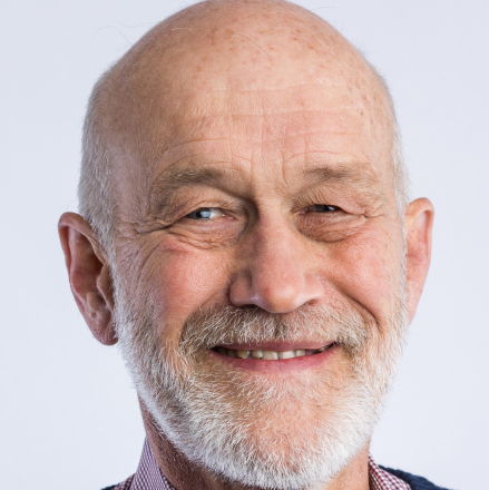
KEYNOTE SPEAKERS

NEW AT SAGA 2026! INNOVATIONS & INVESTMENTS ALLEY
This is a new addition to our conference format – an opportunity to share your expertise and showcase your groundbreaking ideas, technological developments, innovative solutions and breakthrough research highlights that can transform our world and contribute to improving upon existing supply chains. A new presentation channel has been added to the conference with the ‘Innovation Posters’.
Those Posters will be displayed at a dedicated space at the conference venue, visible to industry experts, technology incubators, angel investors and venture capitalists. Submissions are invited for geophysics technology, developments and solutions at Technology Readiness Level’ (TRL) 4 and above. The main author of accepted abstracts will also be allowed a 5 min ‘Speed Talk’ to pitch her/his development. The best pitch presentation, elected by the conference Organizing Committee, would also be granted a 30 min e-call opportunity with an industry senior figure involved in development of, or being an end-user of, technology.
")
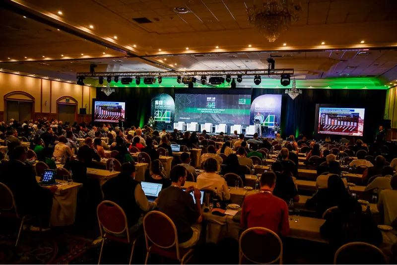
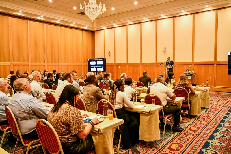
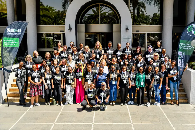
A sneak peak at what SAGA 2026 holds in store
INVESTMENT OPPORTUNITIES
For more information, or to indicate your interest in investing in SAGA 2026, please contact invest@sagaconference.co.za
DIAMOND
The top-tier investment guarantees unparalleled visibility at SAGA 2026 with the Conference’s largest exhibition space and prime speaking opportunities to engage industry leaders. It elevates your brand through widespread visibility including branding across the event and in Conference materials. This category also provides the largest number of complimentary registrations, enhancing your team’s networking and engagement potential.

PLATINUM
This investment opportunity provides distinguished visibility with a substantial exhibition space, ensuring your brand is prominently featured among industry leaders. This category offers four complimentary registrations, fostering teamwork and networking opportunities. While it grants a concise yet impactful time slot to address the delegation, the scope for engagement remains significant, delivering strategic visibility and valuable connections.

GOLD
The Gold investment provides tailored visibility with a mid-sized exhibition space to elevate your brand among the geoscience community and includes two complimentary registrations for enhanced networking. A dedicated time slot for addressing the delegation facilitates impactful communication. Strategic branding opportunities ensure a strong conference presence. It’s an ideal, cost-effective choice for significant exposure and value.

COPPER
Copper offers companies an accessible platform for exposure within the geoscience community. It is inclusive of a standard size exhibition space to ensure brand visibility and includes one complimentary registration for direct industry engagement. This tier benefits from selective branding opportunities in Conference materials and at the event, making it ideal for emerging businesses aiming to establish their presence.

PROUDLY PARTNERED WITH


THE BIG PICTURE
")
KEY CONFERENCE DATES :
12 – 16 OCTOBER 2026
VARIOUS DATES
Pre-conference Field Trips and Tours
MON 12 OCT 2026
Pre-conference Workshops, Golf Day and Welcome Function
TUE 13 OCT 2026
Day 1 and Networking Dinner
WED 14 OCT 2026
Day 2 and our Gala Dinner
THU 15 OCT 2026
Day 3 and our Closing Ceremony
FRI 16 OCT 2026
Post-conference Workshops and Golf Day
VARIOUS DATES
Post conference Field Trips and Tours
DEADLINE DATES
EARLY BIRD REGISTRATION CLOSES
30 April 2026
ABSTRACT SUBMISSION CLOSES
30 April 2026
Extended and Final Deadline Date:
31 May 2026
Full payment of accommodation due
01 July 2026
TESTIMONIALS
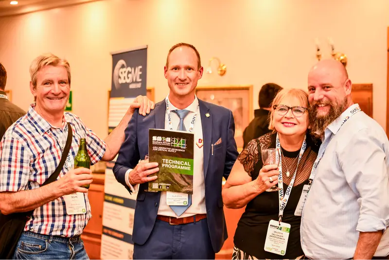
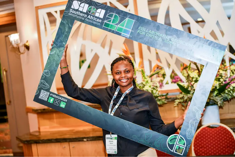
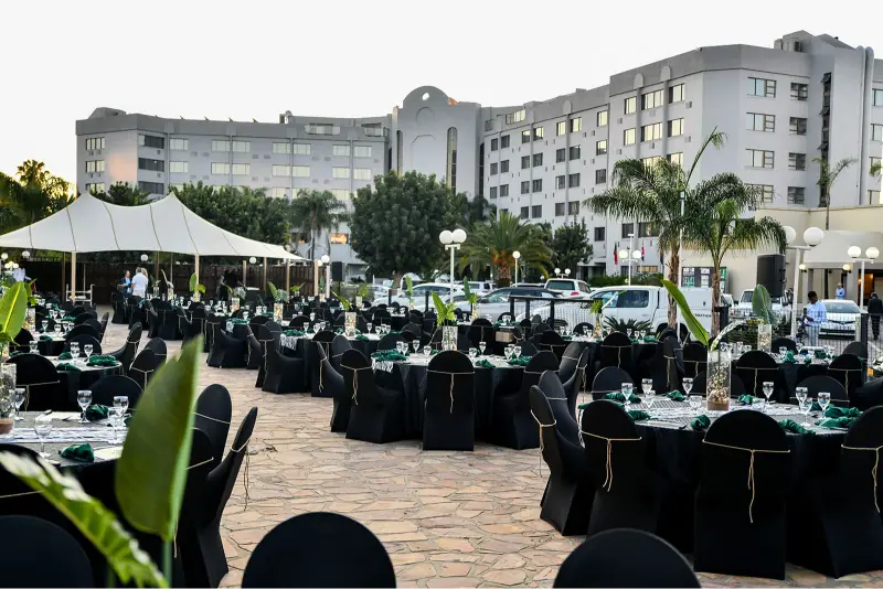
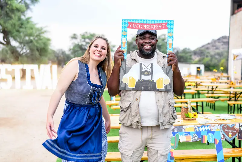
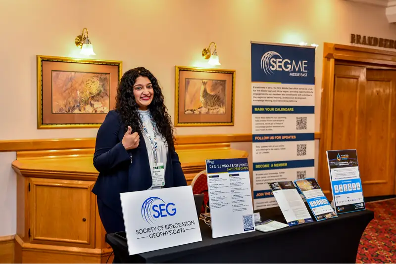
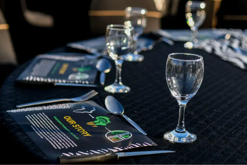
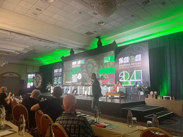
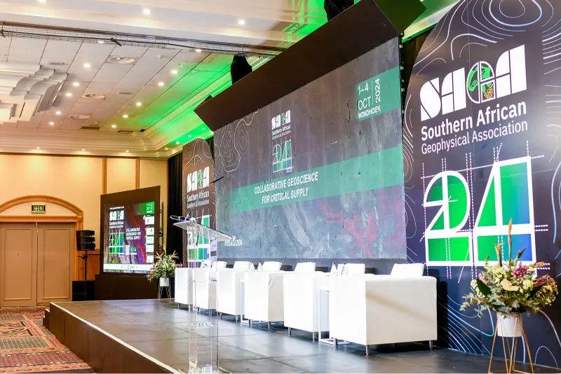
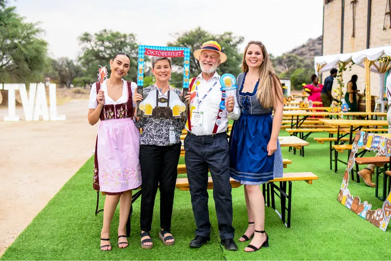
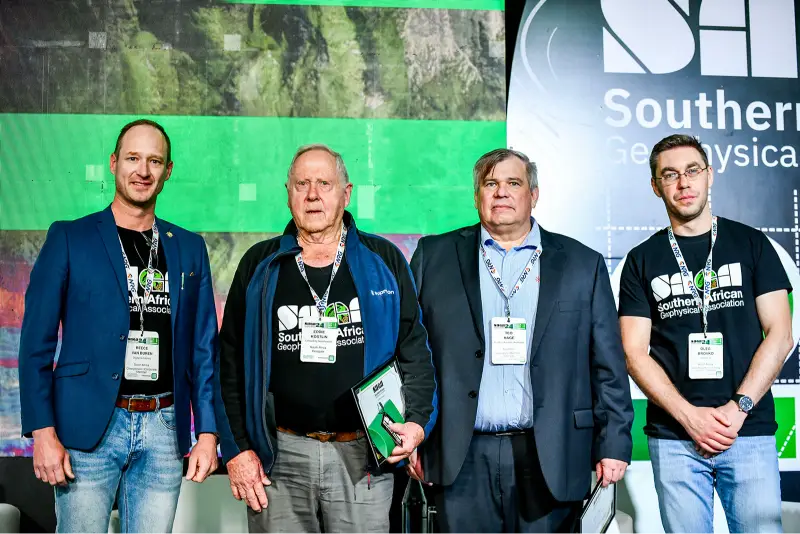
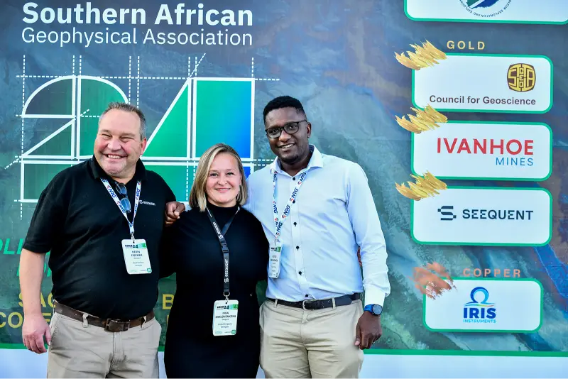
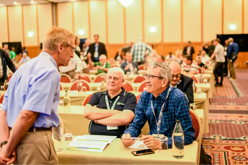
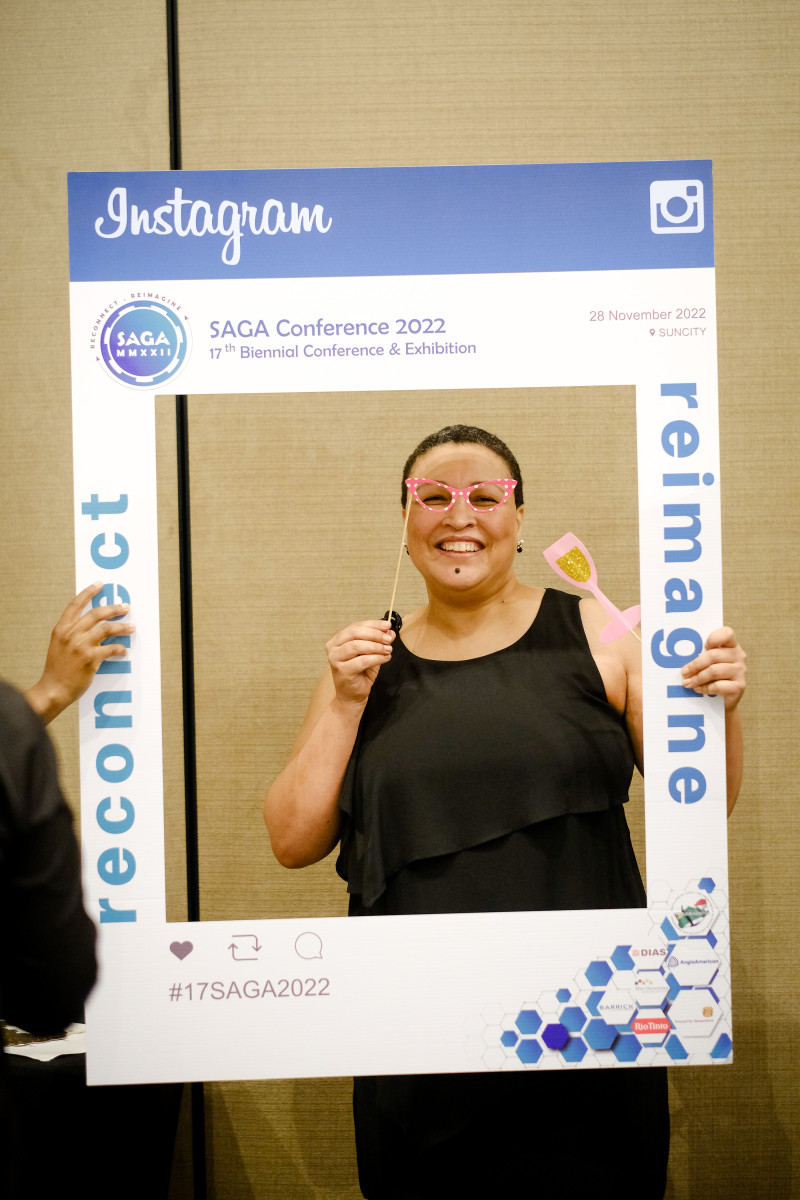
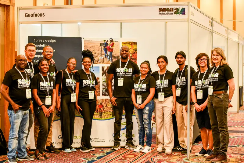
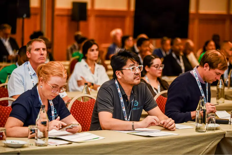
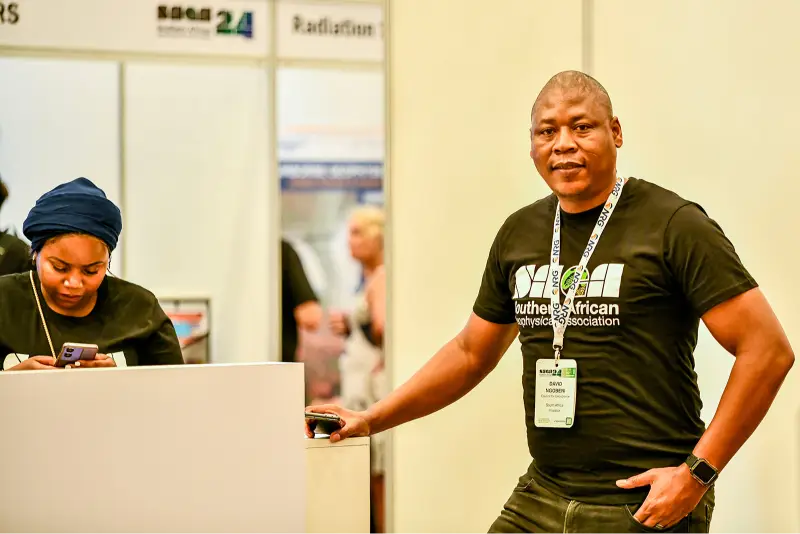
CONFERENCE MEMORIES


OUR STORY

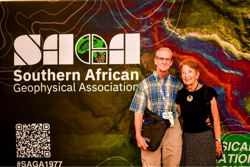
Geophysical Collaboration for Growth
The new SAGA brand reflects our evolution from the South African Geophysical Association, founded in the 1970s, to one that embraces a broader geographical footprint and community. The new brand elements encapsulate our core values of collaboration, growth, innovation, and community. It is important for us to maintain a connection with our heritage, which is why the new brand incorporates elements from our origins, with a significant new addition: the acacia tree.
This emblematic feature, an inseparable part of the Southern African landscape, symbolizes growth and connectedness spreading across the region whilst depicting our foundational roots in South Africa
SEND US A MESSAGE